


Welcome to Sri Balaji College of Engineering & Technology, Jaipur
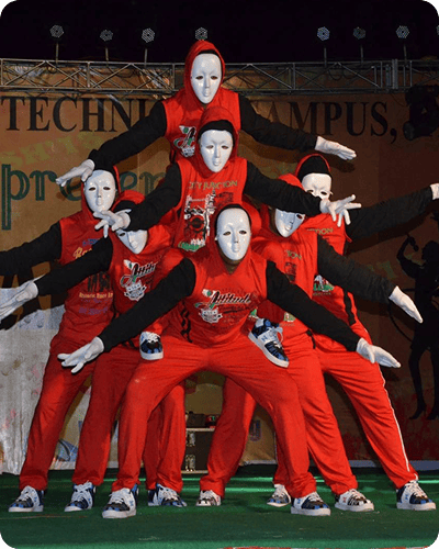
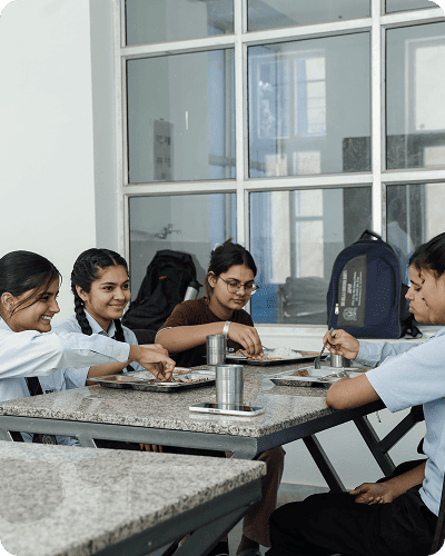
College Life
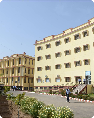
Access to world-class learning and inspirational environment to study with advanced facilities to provide best learning.
Skilled Lecturers
Our dedicated and highly qualified teaching staff is committed to ensure that every learner develops to his/her full potential.
Why Sri Balaji
At Balaji, we believe in nurturing leaders who excel not just in their careers, but also in character, compassion, and cultural values.
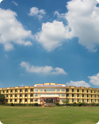
About Sri Balaji College of Engineering & Technology
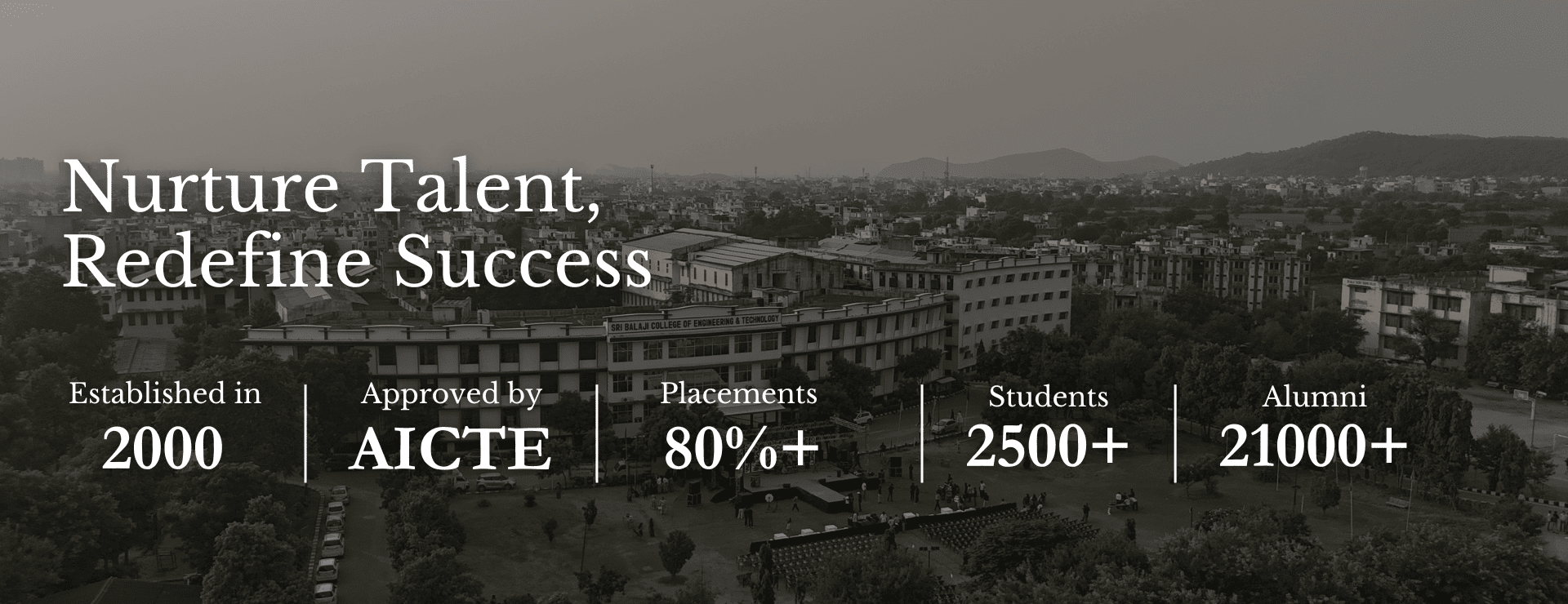
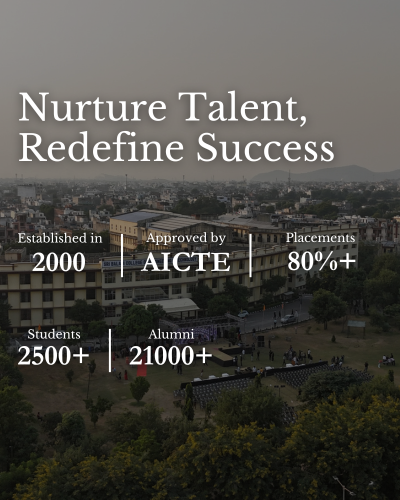
Sri Balaji College of Engineering & Technology has been established in the year 2000 with due approval by All India Council for Technical Education (AICTE), New Delhi and affiliation to Rajasthan University, Jaipur.
Offering B.Tech, M.Tech, Ph.D., and MCA programs, it stands as a hub of innovation and excellence in engineering education.
Honoring the legacy of Late Prof. Alam Singh, the college continues to inspire future technocrats.
3000+
Campus Placement
2K+
Global Student
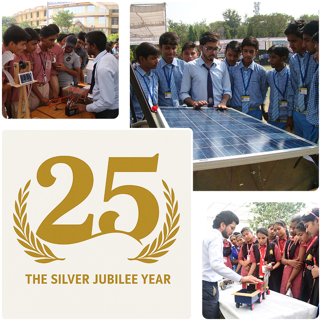
25
Years Of Academic Legacy
Brief Overview of Sri Balaji College of Engineering and Technology, Jaipur
Sri Balaji College of Engineering and Technology (SBCET), founded in 2000, is a well-known college in Jaipur, Rajasthan, that belongs to the Sri Balaji Group. The college operates under Rajasthan Technical University and is AICTE-approved to deliver complete studies and practical learning to help students gain strong professional skills. It prepares students for the real world by bridging the gap between academia and industry. Providing hands-on learning accompanied by excellent research methods combined with teaching techniques and training standards.
Key Highlights:
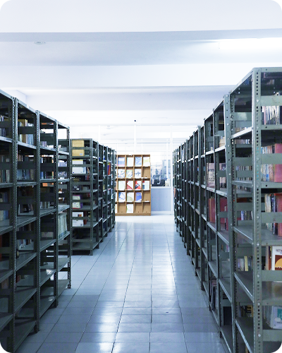
Modern Facilities: World-class facilities which provide students the chance to develop themselves through both academic and personal level.
Great Job Opportunities: The college has a Training and Placement Office that helps students prepare for job placement and ensures they secure strong hiring outcomes.
Variety of Courses: The college offers programs in Civil, Electrical, Mechanical, Electronics & Communication, and Computer Science Engineering, along with MCA studies.
Overall Student Growth: The college organises seminars, workshops, guest lectures, and aptitude programs to help students in various areas.
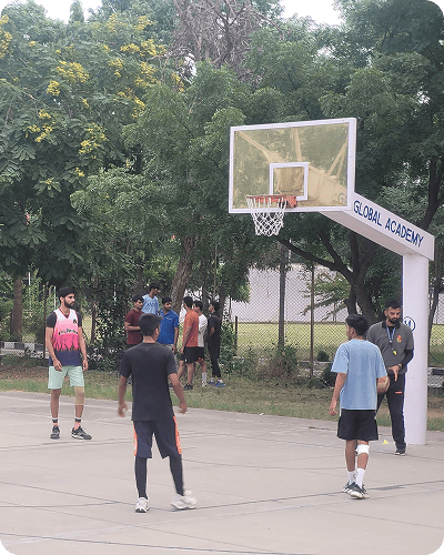
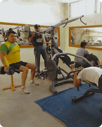
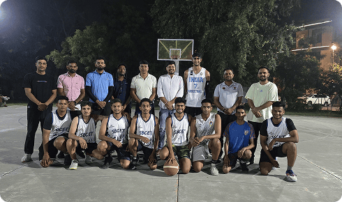
Campus Life @ Sri Balaji College of Engineering and Technology

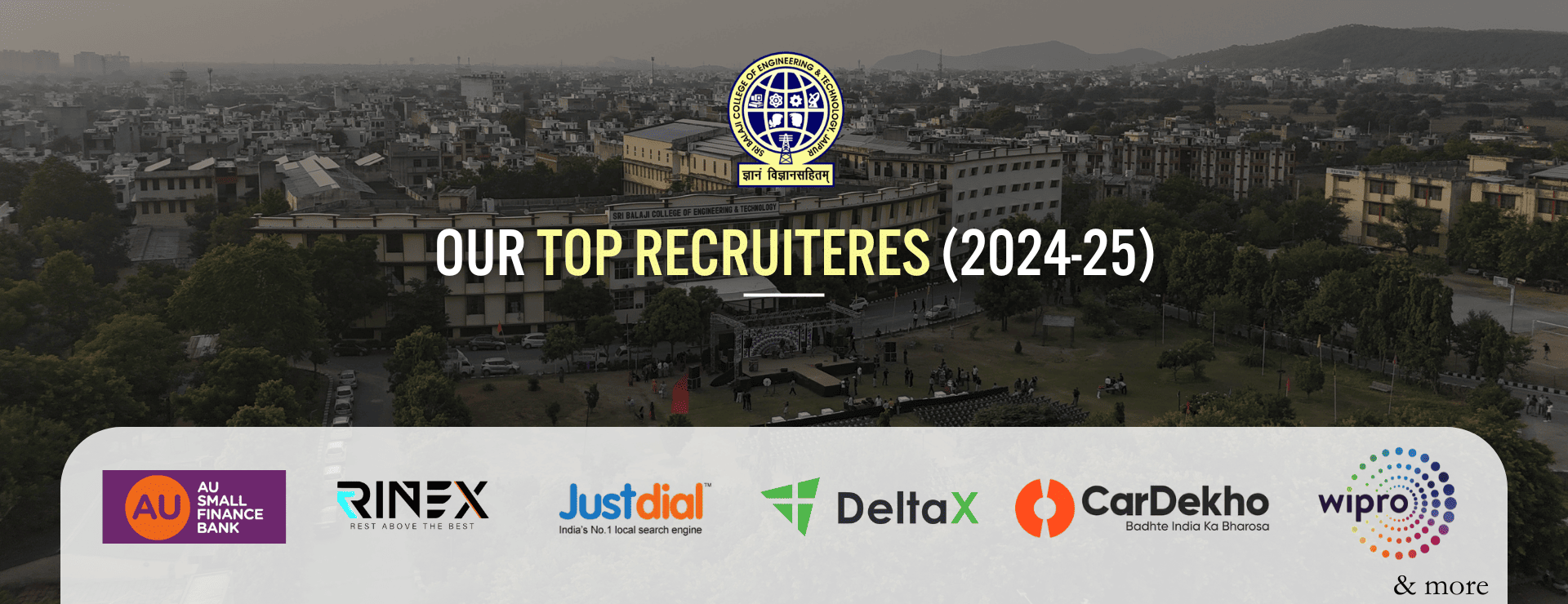
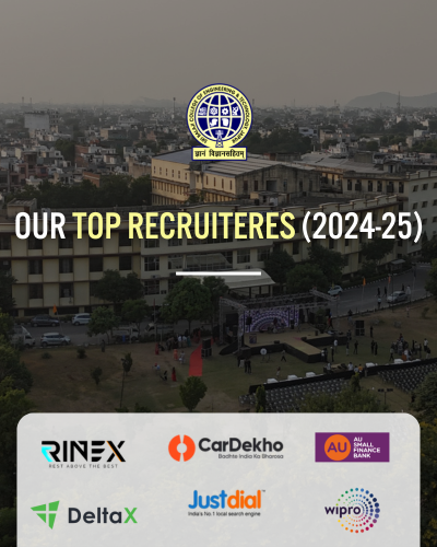
Placement Partners


Our Blogs
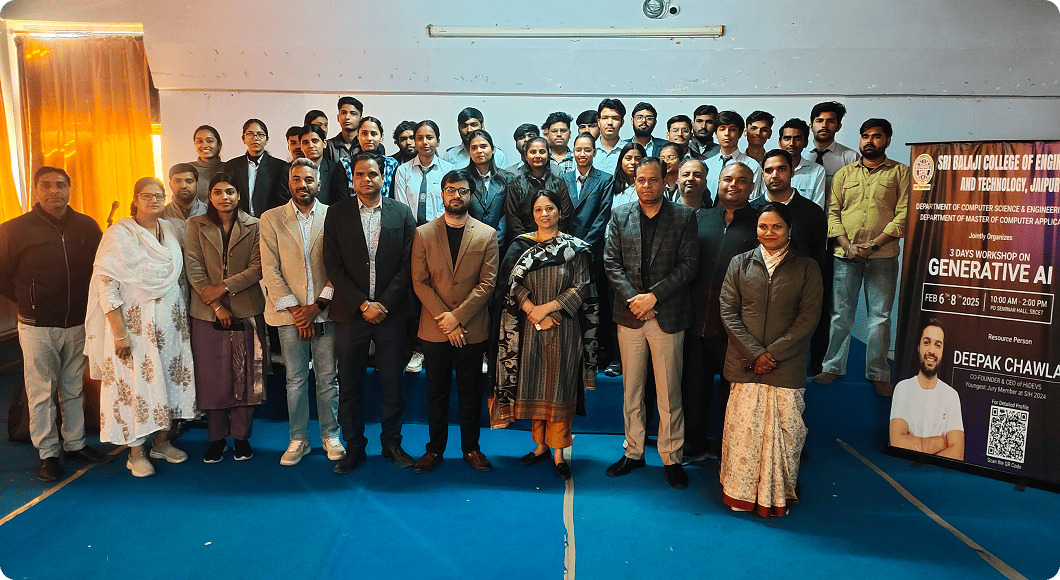
Generative AI Workshop
SBCET, Jaipur, held a 3-day Generative AI workshop (Feb 6-8, 2025), bringing together experts and enthusiasts to explore AI advancements.
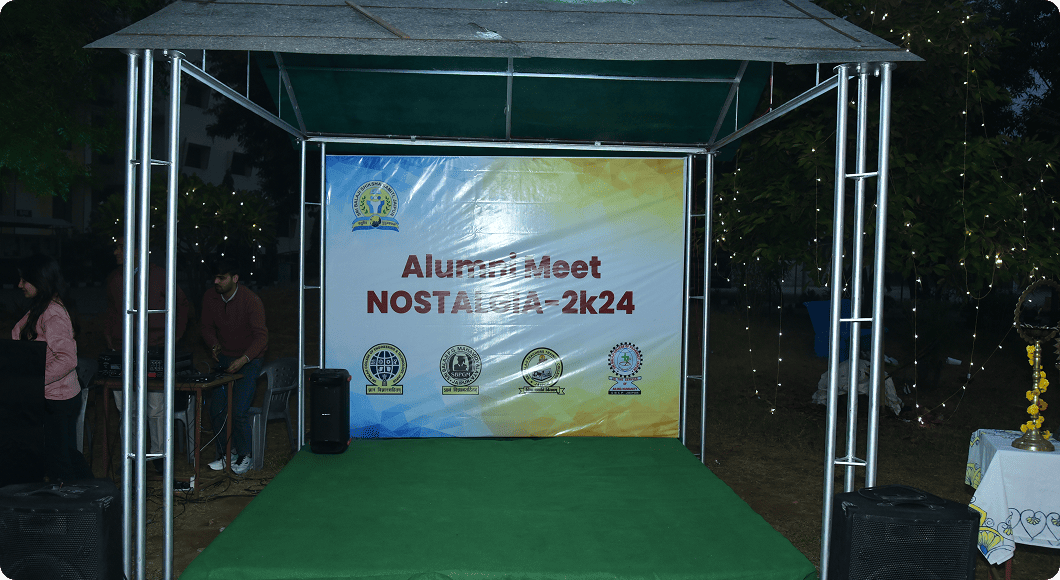
The Alumni Meet 2024
Reunited graduates to celebrate friendships, memories, and achievements while preserving the institution's legacy.
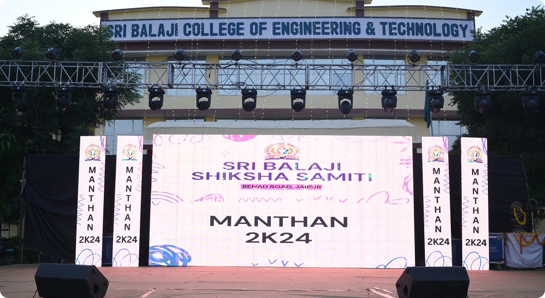
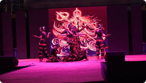
Manthan 2024
College’s annual celebration, showcased talent, sports, and creativity, uniting students through memorable competitions and bevents.
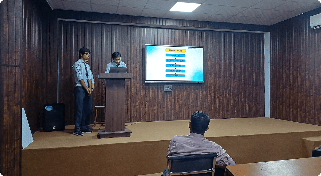
Hackathon 2024
Sri Balaji College’s Hackathon 2024 united coding experts and students to tackle advanced challenges, showcasing technical excellence.
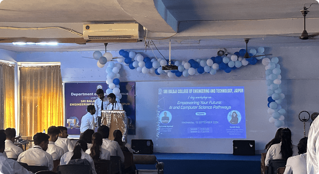
Empowering Your Future: AI & CS Pathways
College held a workshop to educate students on AI and CS advancements, career insights, and essential skills..
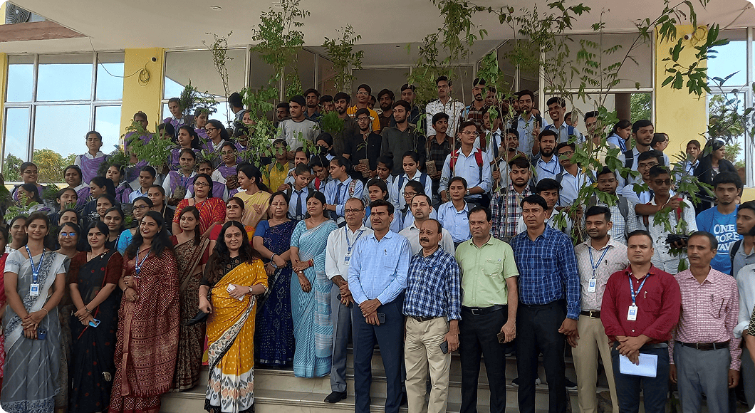
Tree for the Future
College organised a tree-planting initiative, uniting students, faculty, and the community to support natural ecosystems amid urban expansion.
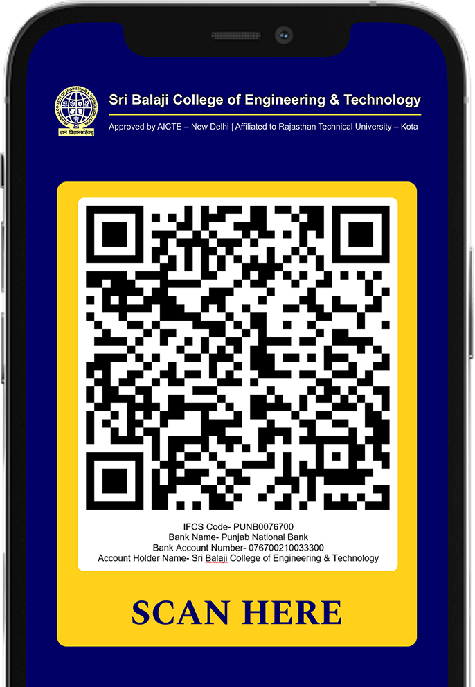
Scan to Pay and Complete
Your Transaction!
No more long queues, just scan and complete your college fee payment in seconds - Fast, secure, and hassle-free.
Hear Them Speak


I am proud to be an alumnus of Sri Balaji College, an institution that set the foundation for my academic success and provided practical industry experience. The encouraging teachers, lively campus life, and experiential learning moulded my confidence and career preparedness.
Nipun Jain
Alumni

My experience at Sri Balaji College was exceptional. It gave me a solid academic base and all-round development. The guiding faculty, industrial exposure, and co-curricular activities gave me confidence and leadership qualities. It shaped me into a well-rounded professional ready to take on challenge.
Rohit Sharma
Alumni
Sri Balaji College changed my academic as well as professional life. The carefully drafted curriculum, blended with industry exposure and expert guidance, enabled me to develop robust industry-prepared capabilities. I'm grateful for the growth and opportunities this institution provided to me.
Niket Kulkarni
Alumni
The learning model in Sri Balaji College trained me to handle practical problems. Continuous guest lectures, industry exposures, and skill-development workshops enhanced my knowledge based on practical realities. It is such a token of gratitude for the rich experience, and valuable guidance here.
Jay Roy
Alumni
My success would have not been possible without the help of the faculty at Sri Balaji College. Their continuous support, guidance, and practical knowledge made learning interesting and knowledgeable. The conducive study environment encouraged me to challenge myself and grow in my professional life.
Harshit Verma
Alumni
My experience at Sri Balaji College was nothing but life-altering experience. The college not only gave me technical skills but also transformed my mindset to accept challenges. The friendships, memories, and experiences here will remain with me for the rest of my life.
Gopal Mittal
Alumni
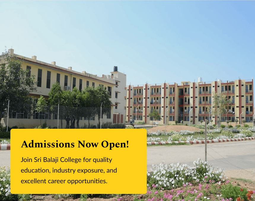
Admissions Now Open at Sri Balaji College - Apply Now for a Bright Future!
Sri Balaji College admissions are open. For academic fans and those seeking industry exposure, this is a once in a lifetime chance to enroll in one of the leading educational colleges. Sri Balaji College has a progressive faculty with good infrastructure and placement support which means it takes holistic care of the students.
Do not miss out in giving the college where you get talent, and also your great future companion for a good career.
Apply NowImportant Announcements
-
Deposition of Affiliation/Inspection & variation in intake fee for Academic Session 2025-26
-
Advt. for the one post of JRF (on purely Temporary Basis) under ISRO-RACS Project in the Metallurgical and Materials Engg. Dept.
-
Office order regarding Insurance policy of RTU authority and employees
-
Advt. for the one post of JRF (on purely Temporary Basis) under ISRO-RACS Project in the Metallurgical and Materials Engg. Dept.
-
Advt. for the one post of JRF (on purely Temporary Basis) under ISRO-RACS Project in the Metallurgical and Materials Engg. Dept.
-
Office order regarding Insurance policy of RTU authority and employees
Recent Activities
Upcoming Events
14
Feb
Literature Festival jaipur
14
Feb
Literature Festival jaipur
14
Feb
Literature Festival jaipur
14
Feb
Literature Festival jaipur
14
Feb
Literature Festival jaipur
Your Future Starts Here - Apply Now!
Don't delay! Apply to Sri Balaji College and claim your first foot in the building for an amazing career. This is the ideal place to nurture your future with great faculty, industry exposure and placements. Apply now & get ready more opportunities!


Via Dadi Ka Phatak, Benar Rd, Shankar Vihar Extension, Jamna Puri, Jaipur, Rajasthan 302013

admin@sbss.ac.in

0141-2972260/61
Copyright © 2025 Sri Balaji Shiksha Samiti, Jaipur
